- Emergency information and updates from the RDCK
- Prepare for an Emergency
- Emergency Info BC
- Be flood prepared
- Debris flow hazard awareness

Representing Diverse Communities in the Kootenays
Updated April 19, 2023
Nelson, BC: The BC Wildfire Service will be supporting the Regional District of Central Kootenay (RDCK) and Kalesnikoff Lumber Company, in conducting a prescribed burn covering up to 38 hectares in the Selous Creek area about two kilometers south of Nelson, to help reduce wildfire threats.
The exact timing of this burn will depend on weather and site conditions, but it could begin as early as Monday April 22. Burning will proceed if conditions are suitable and allow for smoke dispersal during burn operations, though smoke may also linger in the following days. Smoke may impact residents near the burn area and may be visible from Nelson and surrounding areas, and to motorists travelling along Highway 6 and 3A.
Due to the prescribed burn, a portion of the Nelson Salmo Great Northern Trail will have signage and flaggers in place. Please adhere to all signage and instructions from flaggers on the trail. Trail users can expect trail use disruption.
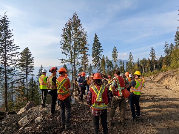
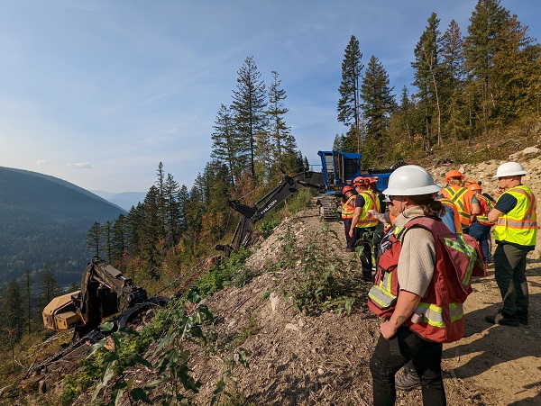
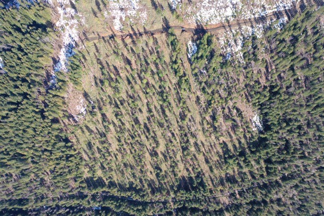
This project has been a collaboration over the last five years with several project partners including the RDCK, Kalesnikoff Lumber, BC Wildfire Service, City of Nelson, Selkirk College, and consultants. The outcome of the fuel management project aims at reducing wildfire risk in Selous Creek near the City of Nelson by modifying the fuel load and completing a prescribed burn. This unique project started with funding support from the Forest Enhancement Society of BC and is an example of the high level of collaboration between regional and municipal governments, fire services and a local timber licensee.
This complex project covers an area of approximately 80 hectares (ha). The following phases of treatment are completed:
Additional information is available at www.rdck.ca/Selous.
If you have questions, please contact project manager John Cathro at cathro@netidea.com or 250.505.3513.

Photo courtesy: Avery Doboer-Smith

Photo courtesy: Avery Doboer-Smith

Photo courtesy: Kalesnikoff
Selous Creek Wildfire Risk Reduction Overview Map [PDF - 5 MB]
Selous Creek Wildfire Risk Reduction Referral Map [PDF - 1 MB]
Selous Creek Harvest Plan Map [PDF - 23 MB]
Selous Creek Site Plan [PDF - 2 MB]
The content on this page was last updated April 19 2024 at 1:52 AM